Home

The Nile River is the longest river in Africa and, by most measurements, the longest river in the world. It runs for about 6,650 kilometers (4,130 miles) from the green hills of East Africa to the blue waters of the Mediterranean Sea. Along the way, it crosses mountains, lakes, wetlands, and the Sahara Desert.
For more than 5,000 years, the Nile has given water, food, and a natural highway to the people who live beside it. Nowhere is this truer than in Egypt, where almost the entire population lives along its banks. This wiki explains the river's geography, the countries it passes through, its role in ancient Egyptian life, religion, and trade, and how its importance has changed from the age of the pharaohs to today.
Table of Contents
1.Where Does the Nile Flow? Location and Geography
2.Nile River Countries: Where Does the Nile Pass?
3.Nile River in Ancient Egypt: The Gift of the Nile
4.Gods of the Nile
5.How Was the Nile Used for Trade?
6.Nile River Cairo: The River in Egypt’s Capital
7.The Aswan High Dam
8.Importance of the Nile River: Then and Now
9.How to Experience the Nile Today
10.Frequently Asked Questions About the Nile
Where Does the Nile Flow? Location and Geography
The Nile lies in northeastern Africa. It stretches across about 35 degrees of latitude, from just south of the equator to Egypt's Mediterranean coast. Unlike most of the world's great rivers, it flows from south to north.
The Source of the Nile: White Nile and Blue Nile
The river is formed by two great branches.
The White Nile is the longer branch. Its main reservoir is Lake Victoria, the largest lake in Africa, and its most distant headstreams rise in the hills of Burundi and Rwanda. The river leaves Lake Victoria near Jinja, Uganda, passes through Lake Kyoga and Lake Albert, and then flows north through South Sudan.
The Blue Nile begins at Lake Tana in the Ethiopian Highlands. It thunders over the Blue Nile Falls and cuts a deep gorge through the mountains. Each summer, heavy rains make it swell, and it brings most of the water and almost all the fertile silt that reaches Egypt.
The White Nile and Blue Nile meet at Khartoum, the capital of Sudan. From there, a single river flows north through the desert toward Egypt.
Nile River Tributaries
The most important tributaries are:
- Blue Nile – the largest source of water, from Ethiopia
- Atbara River – the last major tributary, joining north of Khartoum
- Sobat River – flows from the Ethiopian Highlands into the White Nile
- Bahr el Ghazal – drains the western part of South Sudan
- Kagera River – the main river flowing into Lake Victoria
The Cataracts of the Nile
Between Khartoum and Aswan, the river crosses six cataracts. These are shallow stretches of rapids where hard granite rocks break the surface. The First Cataract at Aswan marked the traditional southern border of ancient Egypt, and its rocky islands still give Aswan some of the most beautiful river views in the country.
Nile River Valley
In Egypt, the Nile Valley is a narrow green strip, usually only a few kilometers wide, with golden desert on both sides. The ancient Egyptians called the fertile land Kemet ("the Black Land") and the desert Deshret ("the Red Land").
Because the river flows north, the south of the country is called Upper Egypt (upstream) and the north is called Lower Egypt (downstream). This is why Luxor and Aswan are in Upper Egypt, even though they appear at the bottom of a map.
Nile River Delta
Just north of Cairo, the river divides into two main branches, the Rosetta and the Damietta, and spreads out into a wide, fan-shaped delta. In ancient times, Greek writers described as many as seven branches. Today, the delta is one of the most fertile farming regions in the world. The famous Rosetta Stone, which helped scholars read hieroglyphs, was found in 1799 near the town of Rosetta (Rashid) on the western branch.
On a Nile River Egypt map, the river looks like a lotus flower: the long valley is the stem, the delta is the open blossom, and the Faiyum oasis to the west is a small bud.
Nile River Countries: Where Does the Nile Pass?
The Nile basin is shared by 11 countries. Some hold the river's sources, while others are crossed by its main stream.
| Country | Connection to the Nile |
|---|---|
| Burundi | Farthest headstreams of the Kagera River |
| Rwanda | Kagera headwaters in the highlands |
| Tanzania | Southern shores of Lake Victoria |
| Kenya | Eastern shores of Lake Victoria |
| Uganda | White Nile leaves Lake Victoria at Jinja |
| Democratic Republic of the Congo | Lake Albert and the Semliki River |
| South Sudan | White Nile and the Sudd wetlands |
| Ethiopia | Blue Nile, Lake Tana, Sobat and Atbara sources |
| Eritrea | Upper Atbara basin |
| Sudan | Meeting of the two Niles at Khartoum |
| Egypt | Final stretch of about 1,500 km to the Mediterranean |
The Nile Basin Initiative, founded in 1999, brings these countries together to cooperate on the river.
The Nile basin includes 11 countries: Burundi, the Democratic Republic of the Congo, Egypt, Eritrea, Ethiopia, Kenya, Rwanda, South Sudan, Sudan, Tanzania, and Uganda. The main river flows through Uganda, South Sudan, Sudan, and Egypt.
Nile River in Ancient Egypt: The Gift of the Nile
Among all Nile River civilizations, ancient Egypt is the most famous. The Greek historian Herodotus called Egypt "the gift of the Nile," and it is easy to see why. Without the river, the country would be almost entirely desert.
The Annual Flood
Every summer, monsoon rains in Ethiopia sent a flood down the Nile. From about June to September, the water spread across the valley. When it went down, it left a layer of rich black silt that made the soil perfect for farming.
The flood shaped the Egyptian calendar. The new year began when the star Sirius reappeared at dawn, just as the river started to rise. The year was divided into three seasons:
- Akhet – the flood
- Peret – planting and growing
- Shemu – harvest
Ancient Egyptian Agriculture
Ancient Egyptian agriculture depended completely on the river. Farmers built earth banks to trap floodwater in basins and used a lifting tool called the shaduf to raise water into canals. They grew emmer wheat and barley for bread and beer, flax for linen, and papyrus for paper, rope, and boats.
To plan each year's harvest, officials measured the flood with Nilometers, stone staircases or wells marked with water levels. The readings helped them predict the size of the crop and set taxes for the year.
Daily Life Along the River
The Nile touched every part of daily life. It supplied drinking water and fish, and its mud was shaped into bricks for houses. Papyrus reeds from its banks became boats, mats, and sandals. Most towns, temples, and royal capitals, such as Memphis and Thebes (modern Luxor), were built on its banks.
The river also connected Egypt to the afterlife. The pharaoh Khufu was buried with a full-sized wooden boat so he could sail across the sky with the sun god. Khufu's boat is now displayed at the Grand Egyptian Museum near Giza.
Building the Pyramids and Temples
The river made Egypt's great monuments possible. Granite was cut at Aswan and floated hundreds of kilometers north on barges. Limestone from the Tura quarries crossed the river to Giza. In 2024, scientists mapped a buried 64-km branch of the Nile, named the Ahramat Branch, that once flowed beside more than 30 pyramids, including those at Giza.
The Nile flooded each summer because monsoon rains fell on the Ethiopian Highlands. The water rushed down the Blue Nile and Atbara River, raising the river in Egypt from about June to September.
The Nile carried the heavy stone used for the pyramids. Granite came by barge from Aswan, and limestone came from nearby quarries. A now-buried branch of the river once flowed close to the Giza pyramids.
Customize Your Dream Vacation!
Get in touch with our local experts for an unforgettable journey.
Plan Your TripGods of the Nile
The Egyptians believed the river was a gift from the gods, and several deities were linked to it.
- Hapi – the god of the annual flood. He was shown as a plump figure with a crown of papyrus or lotus plants, carrying offerings of food. People believed he lived in a cave near Aswan.
- Khnum – a ram-headed god who guarded the source of the flood at Elephantine Island in Aswan. Myths said he shaped people on a potter's wheel from Nile clay.
- Sobek – the crocodile god, who protected the waters and gave strength to the pharaoh. His temple at Kom Ombo is a highlight of Nile cruises today.
- Osiris – the god of rebirth. The yearly flood and the new crops that followed were seen as signs of his return to life.
- Isis – the wife of Osiris. One legend said that her tears for Osiris made the Nile rise. Her beautiful temple stands on Philae Island in Aswan.
- Anuket and Satet – goddesses of the cataracts and the flood, worshipped in the Aswan region.
Hapi was the ancient Egyptian god of the Nile's annual flood. He was shown carrying food and offerings. Other gods linked to the river include Khnum, Sobek, Osiris, Isis, Anuket, and Satet.
How Was the Nile Used for Trade?
The Nile was ancient Egypt's main road. Its current flows north, while the wind usually blows from the north. Boats could drift downstream with the current and raise their sails to travel upstream. In hieroglyphs, the sign for "travel south" even shows a boat with its sail up.
This easy two-way travel made the Nile one of the busiest trade routes of the ancient world. Grain, linen, papyrus, pottery, and stone moved up and down the river. Gold, ivory, ebony, and incense arrived from lands to the south. Aswan's Elephantine Island grew into an important trading post, and its name may come from the ivory traded there.
Nile River history is also a story of linking seas. Around 600 BC, the pharaoh Necho II began a canal joining the Nile to the Red Sea, later finished under the Persian king Darius I. It was an early forerunner of the Suez Canal. In Roman times, ships loaded with Egyptian grain sailed from Alexandria to feed the city of Rome. Centuries later, the river ports of Cairo became centers of trade across the Islamic world.
Ancient Egyptians used the Nile as their main trade highway. Boats drifted north with the current and sailed south with the wind, carrying grain, linen, papyrus, stone, gold, ivory, and other goods between cities.
Nile River Cairo: The River in Egypt’s Capital
Today, visitors can walk the riverside Corniche, sail on a traditional wooden felucca at sunset, enjoy a dinner cruise, or take in the view from the 187-meter Cairo Tower.
Egypt's major Nile cities include Cairo, Giza, Luxor, Aswan, Minya, Asyut, Sohag, and Qena. Alexandria lies near the western edge of the delta and is linked to the river by canal.
The Aswan High Dam
The Aswan High Dam is one of the largest engineering projects of the 20th century. Built between 1960 and 1970, it stands 111 meters high and stretches about 3.8 km across the river.
The dam created Lake Nasser, a huge reservoir about 550 km long. It brought major benefits to Egypt:
- Flood control: villages and farms along the river are protected from unpredictable floods.
- Year-round water: stored water keeps the supply steady in every season.
- More harvests: farmers can grow two or even three crops a year instead of one.
- Clean energy: its 12 turbines produce about 2,100 megawatts of hydroelectric power.
During construction, an international campaign led by UNESCO carefully moved the temples of Abu Simbel and Philae to higher ground, saving them for future generations. Today, Lake Nasser cruises sail past these rescued monuments.
No, the Nile no longer floods in Egypt. Since 1970, the Aswan High Dam has controlled the river's flow and stored floodwater in Lake Nasser, allowing farmers to irrigate their fields all year.
The Aswan High Dam is a 111-meter-high dam on the Nile in southern Egypt, completed in 1970. It created Lake Nasser, controls flooding, provides water all year, and produces hydroelectric power.
Importance of the Nile River: Then and Now
The river has always been the heart of Egypt, but the way people depend on it has changed.
| Area | Ancient Egypt | Today |
|---|---|---|
| Water | Drinking water and household use | About 97% of Egypt's fresh water supply |
| Farming | One harvest a year after the flood | Year-round irrigation and two to three harvests a year |
| Transport | Main highway for people, goods, and stone | Local ferries, cargo barges, and tourist cruises |
| Energy | Human and animal muscle power | Hydroelectric power from the Aswan High Dam |
| Religion and culture | Worshipped through gods such as Hapi | A national symbol in songs, art, and literature |
| Population | A few million people along the banks | More than 100 million Egyptians, most living near the river |
| Travel | Pilgrims, traders, and early Greek visitors such as Herodotus | Nile cruises, felucca rides, and riverside resorts |
In ancient times, the river decided everything: when to plant, when to harvest, and even when to celebrate. Today, modern dams and canals give Egypt control over the water, but the river remains just as vital. It still feeds the nation, powers its homes, and welcomes millions of visitors every year.
The Nile was the source of life in ancient Egypt. Its yearly flood left fertile silt for farming, it supplied water and fish, and it served as the main highway for trade, travel, and moving stone for temples and pyramids.
How to Experience the Nile Today
A Nile cruise is the classic way to see the river. Most cruises sail between Luxor and Aswan in 3 to 7 nights, stopping at the temples of Karnak, Edfu, and Kom Ombo. Smaller dahabiya sailboats offer a quieter, more private journey, and Lake Nasser cruises reach the great temples of Abu Simbel. Short felucca trips in Aswan and dinner cruises in Cairo are perfect for travelers with less time. The most comfortable season is from October to April.
Memphis Tours travel experts design private Nile cruises and complete Egypt itineraries for every budget. Travelers who want a free, tailor-made Nile itinerary can fill in the inquiry form, and a specialist will reply within 24 hours.
Frequently Asked Questions About the Nile
The Nile is in northeastern Africa. It rises in East Africa and the Ethiopian Highlands, flows north through Sudan and Egypt, and empties into the Mediterranean Sea through the Nile Delta, north of Cairo.
The Nile is about 6,650 kilometers (4,130 miles) long. Some organizations, such as the Nile Basin Initiative, measure it at around 6,695 km, because the exact position of its farthest source is hard to fix.
Yes, the Nile is traditionally ranked as the longest river in the world. Some scientists argue the Amazon is longer, depending on how it is measured, but most major references still list the Nile first.
The Nile has two main sources. The White Nile begins in the Great Lakes region, with Lake Victoria as its reservoir and its farthest headstreams in Burundi and Rwanda. The Blue Nile begins at Lake Tana in Ethiopia.
The White Nile is the longer branch and flows steadily all year from the Lake Victoria region. The Blue Nile is shorter but carries most of the water and fertile silt, thanks to heavy summer rains in Ethiopia.
The best way to see the Nile is on a cruise between Luxor and Aswan, ideally from October to April. Other options include dahabiya sailboats, felucca rides in Aswan, Lake Nasser cruises, and dinner cruises in Cairo.
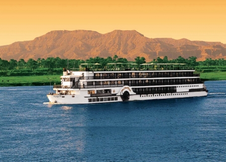
Learn how to book Nile cruise easily. Follow our Nile cruise guide for tips, itineraries, and expert advice.

A complete guide to the Nile River, the world’s longest river. Learn about its geography, tributaries, and the countries it flows through, its vital role in ancient Egyptian life, religion, and trade, and how to experience the Nile in Egypt today.
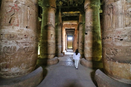
Explore the Temple of Abydos and the Temple of Seti. Learn about their history, secrets, and significance in ancient Egyptian civilization.
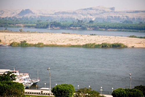
Uncover the rich heritage of Minya City. Dive into ancient sites, vibrant culture, and must-see attractions for visitors in in Al Minya, Egypt.

Explore the Temple of Esna, Egypt, and learn about its remarkable history, stunning architecture, and intriguing ancient facts.
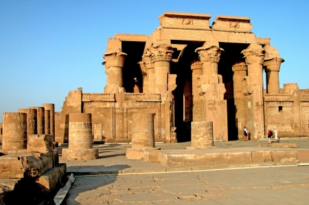
Explore top Cairo Egypt attractions—from the legendary pyramids to fascinating museums and local gems. Uncover the city's wonders & read more.
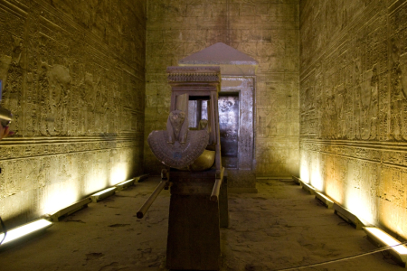
Learn why the Temple of Edfu is one of Egypt’s most complete temples. Find key facts, history, and travel tips here.