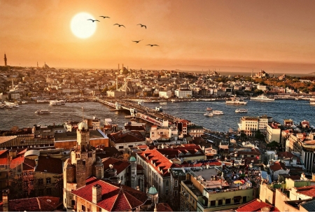
The Bosphorus — also spelled Bosporus, and officially designated the Strait of Istanbul — is one of the most consequential stretches of water on earth. A natural strait of extraordinary strategic, cultural, and ecological significance, it runs for approximately 31 kilometres through the heart of northwestern Turkey, dividing the country between Europe and Asia and splitting Istanbul — the world's only city that straddles two continents — clean in two. To the north, it opens into the Black Sea; to the south, it empties into the Sea of Marmara, which connects via the Dardanelles to the Aegean and, beyond that, to the Mediterranean. No other waterway in the world performs quite the same function: it is simultaneously a continental boundary, an international shipping corridor, a geopolitical flashpoint, an ecological migration highway, and one of the world's most breathtaking urban waterscapes, its shores lined with over two and a half millennia of accumulated human civilisation.
The name itself comes from ancient Greek mythology. Bosphorus derives from bous (ox) and poros (passage), meaning roughly "ford of the ox" or "cattle crossing" — a reference to the myth of Io, a priestess of Hera whom Zeus transformed into a white cow to conceal their affair, and who swam across this strait in her bovine form during her long wandering exile. The Greeks thus encoded their awareness of the strait's crossing-point character into the very name they gave it.
Because of the strait's strategic importance for the defence of Constantinople, straddling the southern end of the strait, the Byzantine emperors and later the Ottoman sultans constructed fortifications along its shores, especially on the European side. Today, those fortresses share the waterline with Ottoman palaces, neoclassical villas, fishing villages, and the gleaming towers of a metropolis of seventeen million people — all watched over by three of the longest suspension bridges in the world and threaded daily by more than a hundred ships carrying goods between the Black Sea and the Mediterranean.
Geography and Physical Character
The Bosphorus represents one of Earth's most strategically significant waterways — a narrow strait approximately 25 to 31 kilometres long and averaging just 1.5 kilometres wide, narrowing to less than 1,000 metres in places. Its depth ranges from 36.5 metres to 124 metres below the sea surface, and it runs through Istanbul, the only city located on two continents.
The channel runs roughly northeast to southwest, but it does not run straight. The Bosphorus makes several sharp S-shaped bends along its length, and it is precisely this combination of narrow width, powerful currents, and multiple tight turns that makes it one of the most technically demanding navigation environments anywhere in the world. Large tankers and cargo vessels cannot simply point their bows and steam through; they must follow a carefully prescribed course, reducing speed at the bends, and communicating with the Turkish Straits Vessel Traffic Service that monitors every transit.
The strait's shores are steep and rocky, in places almost cliff-like, a consequence of the geological forces that created it. The Bosphorus is geologically young and remains tectonically active: geologists estimate it developed roughly 11,500 years ago when increasing sea levels following the last Ice Age exceeded the threshold dividing the Black Sea from the Mediterranean. Before this event, the Black Sea was an enclosed freshwater lake, considerably lower than the Mediterranean. When the rising post-glacial seas broke through, salt water cascaded in a catastrophic flood — an event some scholars have connected to ancient flood myths, including possibly the biblical account of Noah. The Bosphorus itself, in this reading, was born in a deluge.
The European shore forms the western boundary of the strait, the Asian shore — the edge of Anatolia — its eastern boundary. The maximum width is at the northern entrance, and the minimum width falls between the Ottoman fortifications of Rumelihisarı and Anadoluhisarı, where the strait is at its narrowest and most dramatic.
The Dual Current System
One of the Bosphorus's most remarkable physical features is invisible to most observers: a powerful dual current system that flows simultaneously in two opposite directions, one above the other. The surface current flows from the Black Sea southward into the Marmara — driven by the fact that the Black Sea receives more freshwater from rivers than it loses to evaporation, maintaining a slightly higher water level than the Mediterranean. This surface flow of fresher, less dense water moves at speeds of up to 5 to 8 knots on the surface, fast enough to create genuine navigation hazards.
Beneath this southbound surface flow, a deeper, saltier, denser counter-current moves northward from the Marmara into the Black Sea. This deep current occupies the lower portion of the water column and carries the warm, salty Mediterranean water into the Black Sea. The two currents flow past each other through the strait continuously, their boundary marked by a sharp layer of contrasting water density. Fishermen have exploited the counter-current for centuries, lowering weighted nets to catch the deep flow that carries their lines in the opposite direction to the surface wind. Ancient and medieval vessels often used the surface current to move south, and the deep counter-current — accessed with weighted anchors dragged along the bottom — to move north.
The Bosphorus is a natural strait in northwestern Turkey that divides the country between Europe and Asia, running for approximately 31 kilometres through the city of Istanbul. To the north, it opens into the Black Sea; to the south, it connects to the Sea of Marmara and, via the Dardanelles, to the Aegean and Mediterranean. This makes it the only maritime passage linking the Black Sea — and all the countries that border it — to the world's oceans. Its narrowest point is just 700 metres wide, making it the world's narrowest strait used for international navigation. Istanbul is the only city on earth that sits across two continents simultaneously, with its European half (Thrace) on the western bank and its Asian half (Anatolia) on the eastern bank. The strait is not merely a body of water but one of the defining geographical facts of world history: whoever controlled it controlled the flow of trade between the Mediterranean and the vast hinterland of the Black Sea, which for most of recorded history included the grain supplies of the Ukrainian steppe that fed much of the ancient and medieval world.
The Bosphorus is geologically young, formed roughly 11,500 years ago at the end of the last Ice Age. Before this, the Black Sea was an enclosed freshwater lake sitting at a considerably lower level than the Mediterranean. As the global climate warmed and ice sheets melted, sea levels rose until Mediterranean waters broke through the land barrier that is now the Bosphorus, flooding into the Black Sea basin in a catastrophic inundation that permanently connected the two bodies of water. Some geologists and historians have suggested this event — a sudden, violent flood that permanently transformed a vast region — may lie behind ancient flood myths, including, possibly, the biblical story of Noah. The strait continues to be tectonically active; the entire region sits near the North Anatolian Fault, one of the world's most seismically dangerous fault lines, and significant earthquakes have affected Istanbul periodically throughout its history.
Ancient History: The Strait That Made Civilisations
The Bosphorus has shaped the fate of empires for as long as human beings have been capable of building boats. Its combination of navigable width and enormous strategic value — whoever held the strait controlled the only maritime passage between the Black Sea and the Mediterranean — made it one of the most contested pieces of geography in the ancient and medieval worlds.
Greek and Persian Antiquity
Greek colonists recognised the strait's value in the 7th and 6th centuries BC, establishing settlements on both shores that could tax and profit from the flow of Black Sea grain, fish, and timber to the Mediterranean world. The city of Byzantium, founded on the promontory at the strait's southern end around 657 BC, occupied one of the most naturally advantaged positions in the ancient world: perched on a triangular headland with the Bosphorus on one side, the Golden Horn inlet on the other, and the Marmara to the south, it was nearly impregnable and perfectly positioned to control and benefit from the trade flowing through the strait.
The Persian King Darius I crossed the Bosphorus in 512 BC during his campaigns against the Scythians, constructing a pontoon bridge of boats across the strait — one of the earliest recorded attempts to span it. His son Xerxes I did the same at the Hellespont (the Dardanelles) during his invasion of Greece in 480 BC. These Persian crossings demonstrated both the military value of the strait and the enormous logistical effort required to move armies across it — an effort that would be repeated by commanders for the next two and a half millennia.
The Greek historian Herodotus described the Bosphorus in detail, and the Roman historian Polybius noted that the grain flowing through it from the Black Sea's Ukrainian and Russian plains was the lifeblood of Greek civilisation — without that grain, the city-states of the Aegean could not have fed themselves or built the culture that shaped the Western world.
Constantine and Constantinople
The Bosphorus's most consequential historical moment came in 324 AD when the Roman Emperor Constantine I decided to move the capital of the Roman Empire from Rome to Byzantium, refounding it as Constantinople. His reasons were partly military, partly economic, and partly personal — but the geography of the Bosphorus was central to all of them. Protected by the currents of the Bosphorus Strait, the city proved impenetrable against attacks for more than a thousand years. The imperial armies could navigate the Bosphorus on their way to Europe, Africa, and Asia Minor, to fight and return with the spoils of war.
During the Byzantine period, the Bosphorus was defended by a great chain — a massive iron boom that could be stretched across the Golden Horn to prevent hostile ships from approaching the sea walls. This chain was deployed on multiple occasions against Arab fleets in the 7th and 8th centuries, Rus Vikings in the 9th and 10th centuries, and various other attackers throughout the Byzantine millennium. The combination of formidable sea walls, the strait's currents, and this chain defence made Constantinople's sea approaches effectively impregnable for most of its history.
Customize Your Dream Vacation!
Get in touch with our local experts for an unforgettable journey.
Plan Your Trip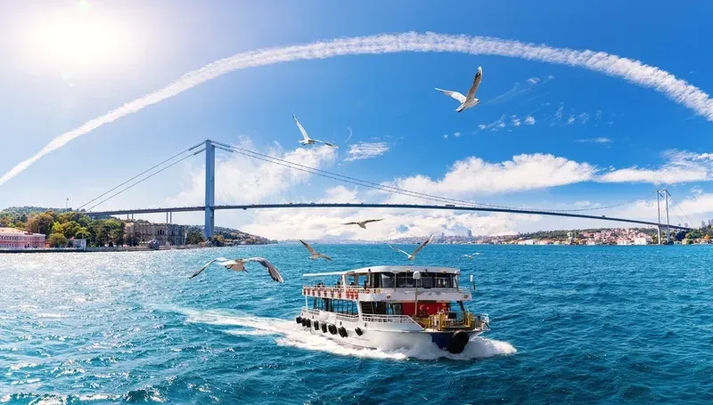
The Ottoman Conquest and the Fortress Strategy
The Ottoman Empire's conquest of Constantinople in 1453 was preceded by a decisive act of strategic engineering on the Bosphorus that directly determined the outcome of the siege. Sultan Mehmed II, the twenty-one-year-old sultan who would go down in history as Mehmed the Conqueror, understood that to take Constantinople, he first had to control the strait and cut off Byzantine supply lines from the Black Sea.
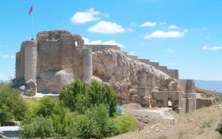
In 1452, a year before conquering Constantinople, Mehmed II built Rumelihisarı (the Rumeli Fortress) on the European bank at the narrowest point of the strait. Anadoluhisarı had already been constructed on the Asian shore by Bayezid I in 1390–91. With fortresses now on both banks at the strait's narrowest point, the Ottomans could fire across the water from both sides simultaneously — creating a killing zone that no ship could pass without Ottoman permission. When a Venetian supply vessel attempted to run through without authorization, Ottoman guns on both shores sank it. The captain was impaled as a warning to others. The stranglehold on Constantinople's supply lines was complete, and the city fell the following year.
The Rumeli Fortress, known as Rumelihisarı, was built with astonishing speed — reportedly completed in just four months using a workforce of thousands of craftsmen and labourers, with the three main towers each assigned to a different Ottoman grandee to encourage competitive speed. Today it stands as a remarkably well-preserved medieval fortification whose three massive towers and connecting walls climb the steep European hillside above the strait's narrowest point, offering some of the most dramatic views of the Bosphorus from any point along its length. It now operates as an open-air museum and occasional concert venue.
After the conquest, the Ottoman Empire used the Bosphorus as the maritime highway of its expanding civilisation. The Turkish sultan settled in the Topkapi Palace to watch as ships full of treasures, victorious armies, and foreign ambassadors arrived in abundance. For four centuries, the strait was effectively an Ottoman lake, its shores gradually accumulating the extraordinary array of palaces, mosques, fortresses, and aristocratic waterfront mansions that still define its character.
Approximately 40,000 to 48,000 vessels transit the Bosphorus annually, making it one of the busiest international shipping lanes in the world, with daily transit numbers three to four times greater than those of the Suez and Panama Canals, respectively. The traffic includes oil tankers carrying Russian and Caspian crude, bulk carriers loaded with Ukrainian grain, container ships, and vessels of every other category. The legal framework governing this traffic is the Montreux Convention, signed in 1936, which guarantees free passage to civilian merchant vessels in peacetime while giving Turkey the authority to restrict the transit of military vessels, particularly from non-Black Sea nations. The convention restored full Turkish sovereignty over the strait after it had been placed under international commission control following the First World War. Turkey is also responsible for the safety of navigation in the strait and operates a vessel traffic service that monitors all transits, mandates pilots for certain vessel categories, and imposes restrictions, including bans on night transits for the largest tankers.
The Bosphorus shoreline is one of the most historically dense urban waterfronts in the world. On the European shore, from south to north, the major landmarks include: the Dolmabahçe Palace (a 19th-century neoclassical palace that served as the main residence of the late Ottoman sultans and where Atatürk died in 1938), the Çırağan Palace (now a luxury hotel), the Ortaköy Mosque (framed by the first Bosphorus bridge in one of Istanbul's most iconic views), and Rumelihisarı (the 15th-century fortress built by Mehmed II in four months before the Ottoman conquest of Constantinople). On the Asian shore: Anadoluhisarı (the older 14th-century Ottoman fortress directly across from Rumelihisarı), Beylerbeyi Palace (a summer residence for sultans that hosted Napoleon III's wife, Empress Eugénie, and other heads of state), and the famous yalılar — the over 600 surviving historic wooden waterfront mansions built by Ottoman aristocracy and wealthy merchants from the 17th century onward. At the strait's southern entrance sits the Maiden's Tower on its tiny islet, one of Istanbul's most legendary landmarks.
The Shores and Their Landmarks
The Bosphorus shoreline is one of the richest concentrations of historical monuments in the world. Travelling from south to north along the European bank and returning along the Asian shore provides a visual survey of Ottoman, Byzantine, and modern Turkish civilisation spanning nearly two thousand years.
Dolmabahçe Palace
The most visually arresting landmark on the European shore is Dolmabahçe Palace, whose white neoclassical façade stretches for approximately 600 metres directly along the waterfront in the Beşiktaş district. Built between 1843 and 1856 by Sultan Abdülmecid I as a more modern and European-influenced replacement for the older Topkapi Palace, Dolmabahçe was an explicit statement of Ottoman willingness to embrace Western architectural and design traditions. Its 285 rooms and 46 halls are furnished with Bohemian crystal, Baccarat chandeliers — including the largest Bohemian crystal chandelier in the world, a gift from Queen Victoria — and European paintings, creating an interior of extraordinary opulence that reflects the late Ottoman Empire's complex relationship with Western power. It was in Dolmabahçe that Mustafa Kemal Atatürk, the founder of the Turkish Republic, died on 10 November 1938; all the clocks in the palace are stopped at 9:05, the moment of his death.
Rumelihisarı (Rumeli Fortress)
Further north on the European bank, at the strait's narrowest point, the great towers of Rumelihisarı rise from the steep hillside above the water. Built by Mehmed II in 1452 in preparation for the siege of Constantinople, the fortress consists of three major towers connected by curtain walls and was designed to work in conjunction with Anadoluhisarı on the opposite Asian shore to control every ship passing through the strait. After the conquest of Constantinople, it served successively as a customs checkpoint, a military garrison, and a prison. Today, it is a museum and open-air venue whose concerts have the unusual distinction of being performed against the backdrop of the Bosphorus shipping lane.
Ortaköy Mosque
One of the most photographed images in all of Istanbul — and one of the most reproduced in Turkish tourism — is the view of the delicate Ortaköy Mosque (officially the Büyük Mecidiye Mosque) framed against the Bosphorus Bridge soaring overhead. Built between 1854 and 1856 by Sultan Abdülmecid I in the neo-Baroque style that reflected Ottoman openness to European architectural currents, the mosque sits literally on the waterfront at the foot of the bridge, its slender minarets and ornate domed silhouette creating an almost impossibly picturesque composition of Ottoman sacred architecture and 20th-century suspension engineering.
Çırağan Palace
Between Ortaköy and the bridge, the long facade of Çırağan Palace traces the waterfront. Originally built in the 17th century and repeatedly rebuilt, its present structure dates from the late 19th century and was most recently the residence of the deposed Sultan Murad V, who spent 27 years confined within it after being removed from power. The palace was gutted by fire in 1910 and remained a ruin for decades before being restored in the 1980s as a luxury hotel — the Çırağan Palace Kempinski — whose terrace pool sits directly over the Bosphorus, within arm's reach of the passing ships.
Beylerbeyi Palace and Anadoluhisarı
On the Asian shore, Beylerbeyi Palace served the Ottoman sultans as a summer residence and guest house for visiting foreign dignitaries, including French Empress Eugénie and Austrian Emperor Franz Joseph. Smaller and more intimate than Dolmabahçe, its two-storey marble facade sits at the water's edge at the foot of the Fatih Sultan Mehmet Bridge. A few kilometres further north, the modest but historically significant Anadoluhisarı — the Anatolian Castle — occupies its promontory on the Asian bank, the oldest surviving Ottoman fortification on the Bosphorus, built by Bayezid I in 1393.
The Yalılar: Waterfront Mansions
Along both shores, particularly between the first and second bridges, stretch the yalılar (singular: yalı) — the historic waterfront mansions built by the Ottoman aristocracy, wealthy merchants, and foreign ambassadors who competed through the 18th and 19th centuries to own the most coveted addresses in the empire. Along the shore today, you'll spot over 600 historic wooden mansions known as yalı, dating mostly from the 19th century, built by Ottoman aristocracy and wealthy merchants who wanted to live as close to the water as possible. Built of timber, often painted in shades of red, cream, and ochre, with large bay windows overhanging the water and private boat docks at their foundations, the yalılar represent a uniquely Bosphorus architectural tradition. The most magnificent are extraordinarily valuable — among the most expensive private residences in Turkey — and some are now protected as historical monuments. The oldest surviving yalı, the Amcazade Yalı, built in 1699, sits on the Asian shore near Kandilli.
The Maiden's Tower
At the very southern entrance of the Bosphorus, on a tiny islet just off the Asian shore near Üsküdar, stands the Maiden's Tower (Kız Kulesi), one of Istanbul's most romantic and myth-laden landmarks. The structure on the islet has been rebuilt many times across the centuries, serving variously as a lighthouse, a quarantine station, a customs post, and a naval watchtower. Multiple legends compete for the tower's origin story: one tells of a Byzantine emperor who imprisoned his daughter in the tower after a prophecy foretold her death by snakebite, only for a snake to emerge from a fruit basket and fulfil the prophecy regardless. The tower was most recently restored and reopened as a museum and restaurant in 2023.
The Three Bridges
For most of Istanbul's history, the only way to cross the Bosphorus was by boat. The ferry (vapur) and rowing (kayık) traditions defined the rhythm of the city for centuries, and Istanbul's relationship with its strait was always mediated by water. It was not until the 20th century that fixed crossings began to transform this relationship.
15 July Martyrs Bridge (Bosphorus Bridge)
The first permanent fixed link across the Bosphorus opened on 30 October 1973, on the 50th anniversary of the founding of the Turkish Republic. Its construction started in 1970 and ended in 1973. Known originally as the Bosphorus Bridge and renamed the 15 July Martyrs Bridge in 2016 following the attempted coup of that year, it is a suspension bridge with a main span of 1,074 metres, carrying six lanes of motorway traffic and connecting the Ortaköy neighbourhood on the European side with Beylerbeyi on the Asian shore. When it opened, it was the fourth-longest suspension bridge in the world. It remains one of Istanbul's most iconic visual landmarks — particularly when illuminated at night in the colours of the Turkish flag or in rainbow hues during civic celebrations.
Fatih Sultan Mehmet Bridge
The second bridge, the Fatih Sultan Mehmet Bridge, opened in 1988, approximately 5 kilometres north of the first. With a slightly longer main span of 1,090 metres, it carries eight lanes of motorway traffic and was designed to relieve pressure on the first bridge, which had become chronically congested within years of opening. It connects the Hisarüstü neighbourhood on the European side with Kavacık on the Asian side, and is positioned close to both fortresses — Rumelihisarı on the European bank and Anadoluhisarı on the Asian bank — creating one of the most historically layered visual compositions anywhere on the strait.
Yavuz Sultan Selim Bridge
The third and newest bridge, the Yavuz Sultan Selim Bridge, opened in 2016 at the northern end of the strait, near the Black Sea entrance. It is significantly larger than its predecessors — with a main span of 1,408 metres, it was among the longest suspension bridges in the world at the time of its opening — and unlike the first two bridges, it carries both road traffic and a railway line, making it a critical piece of infrastructure for Turkey's rail expansion plans. Its towers, at 322 metres, are among the tallest bridge towers ever constructed.
The Marmaray and Eurasia Tunnels
Alongside the three bridges, two underwater tunnels now also cross the Bosphorus. The Marmaray rail tunnel, opened in 2013, runs 13.6 kilometres through the seabed beneath the strait and connects the European and Asian suburban rail networks, carrying millions of passengers annually. The Eurasia Tunnel, opened in 2016, is a road tunnel for vehicles running beneath the strait at its southern end, connecting Kazlıçeşme on the European side with Göztepe on the Asian side.
International Shipping and the Montreux Convention
The Bosphorus is one of the world's great maritime chokepoints — a place where the entire volume of Black Sea maritime trade must pass through a channel barely 700 metres wide at its narrowest. The density of maritime traffic in the Bosphorus has increased elevenfold from around 4,400 ships passing annually in 1936, when the Montreux Convention was signed, to an average of 48,000 vessels per year recently. With 132 vessel transits daily, not including local traffic, it ranks second to the Malacca Straits in density.
The volume of traffic creates genuine risks. The combination of sharp bends, powerful currents, and the sheer scale of modern supertankers and bulk carriers makes the Bosphorus one of the most technically demanding passages in international shipping. Accidents are not uncommon, and when they occur in a channel running through the middle of a city of seventeen million people, the consequences — in terms of fire, oil spills, and damage to the historic waterfront — can be catastrophic.
The legal framework governing this traffic is the Montreux Convention Regarding the Regime of the Straits, signed on 20 July 1936 in Montreux, Switzerland. The Montreux Convention regulates maritime traffic through the Bosphorus and Dardanelles straits in Turkey. It guarantees complete freedom of passage for all civilian vessels in times of peace. In peacetime, military vessels are limited in number, tonnage, and weaponry, with specific provisions governing their mode of entry and duration of stay.
The convention restored full Turkish sovereignty over the strait — which had been stripped from the Ottoman Empire and placed under international commission control following its defeat in the First World War. Turkey regained the right to close the strait to warships in times of war or when it considered itself threatened, and to restrict the passage of naval vessels from non-Black Sea states. Russia, Ukraine, Georgia, Romania, and Bulgaria all depend on the Bosphorus for maritime access to the world's oceans, which explains why control over it has been fought over, negotiated, and legally codified for centuries.
The Montreux Convention became the subject of intense international scrutiny during the Russian invasion of Ukraine beginning in 2022, when Turkey invoked its provisions to restrict the passage of warships through the strait — a decision praised by Ukraine and NATO while maintaining Turkey's position of formal neutrality on the conflict.
Ecology and Marine Life
The Bosphorus supports a remarkably rich marine ecosystem that is partly a function of its unique dual-current system and partly a reflection of its position as the only passage between two very different bodies of water — the relatively fresh, cold Black Sea and the warm, salty Mediterranean-connected Marmara.
The seasonal migrations of fish through the strait have sustained the populations living on its banks since antiquity. Bluefish, bonito, mackerel, anchovy, swordfish, and numerous other species migrate through the Bosphorus in massive shoals, following the currents and the seasonal temperature changes. Istanbul's fishing culture — the men with their long rods hanging over the Galata Bridge, the fishermen who cast nets from the waterfront at dawn — is a direct expression of this ecological bounty that has persisted for millennia.
Three species of dolphins inhabit the strait and are regularly seen by ferry passengers and cruise visitors: the common dolphin, the harbour porpoise, and the bottlenose dolphin. These are not merely picturesque — they are indicators of the strait's ecological health, and their numbers have fluctuated over the decades with changes in traffic intensity, water quality, and fish availability. The sight of dolphins swimming alongside the Istanbul ferries is still common enough to stop conversation on deck and send passengers hurrying to the rail with their phones raised.
The strait also plays a critical role in the breeding and migration patterns of Black Sea fish stocks, and any serious degradation of its water quality or disruption of its current system has potential consequences extending far beyond Istanbul into the ecological health of the entire Black Sea, already one of the world's most stressed enclosed seas.
The Bosphorus as Cultural Landscape
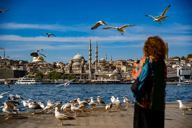
Beyond its strategic and ecological significance, the Bosphorus is a cultural landscape of extraordinary richness — a waterway that has been painted, described, photographed, and celebrated for centuries as one of the most beautiful urban environments in the world. The novelist Orhan Pamuk, in his memoir Istanbul: Memories and the City, writes about the Bosphorus with an intensity that borders on devotion — the strait is not merely a setting in his account of growing up in Istanbul but a character, a presence, a weather system of the soul. Pierre Loti, the French novelist who lived in Istanbul in the late 19th century and immortalised the city in his writing, spent countless evenings watching the water from the hills above the Asian shore. Every traveller who has approached Constantinople by sea — and for most of the city's history, the sea approach was the only one — has recorded the impact of the sight: the strait narrowing, the minarets rising above the European and Asian hills, the palaces appearing at the water's edge, the smell of salt and fish and woodsmoke.
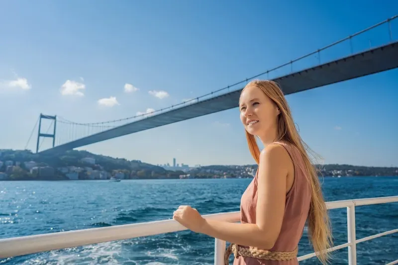
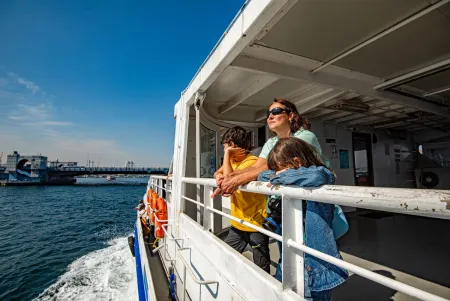
The Bosphorus cruise (Boğaz turu) is one of the most popular tourist activities in Istanbul, and for good reason: no road journey, no matter how carefully planned, can replicate the experience of approaching the city from the water, as every sultan, every ambassador, and every traveller of consequence approached it for fifteen hundred years. The public ferries operated by Istanbul's ferry company İDO and the commuter services of the Şehir Hatları connect the European and Asian shores at multiple points and offer a cheap, unhurried, and genuinely beautiful way to experience the strait. Private Bosphorus cruises go further north, past the second and third bridges, into the quieter residential stretches where the yalılar crowd the waterline and the pace of the modern city drops away into something older and calmer.
The single most rewarding way to experience the Bosphorus is by water. The public Istanbul ferry services (Şehir Hatları) operate regular routes between the European and Asian shores and also run long Bosphorus cruise services that travel north to Anadolu Kavağı near the Black Sea entrance and back — a half-day journey that passes all the major landmarks, palaces, and fortresses at a stately pace and at minimal cost. This is how Istanbul residents travel on the strait and gives a far more authentic experience than tourist-oriented private cruises, though the latter offer more flexibility on timing and commentary. For views from land, the waterfront promenades of Ortaköy, Bebek, and Arnavutköy on the European side and Kanlıca and Çengelköy on the Asian side are all excellent bases for walking, eating at the many fish restaurants, and watching the extraordinary parade of ships, ferries, and fishing boats on the water. At night, the three bridges are illuminated, the palaces glow, and the strait takes on the quality of a river of lights that has been described as one of the great urban spectacles anywhere in the world.


Few waterways on earth carry the weight of the Bosphorus Strait — the narrow channel that splits Istanbul between two continents and has determined the fate of empires since ancient Greece.
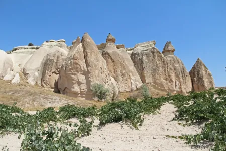
Where ancient volcanic rock meets Byzantine history, Pasabagı's iconic multi-headed fairy chimneys and carved monk dwellings make it Cappadocia's most otherworldly and unforgettable stop.
In Turkey Christmas celebrations Turkey are more sort of a ‘Do it yourself Christmas’. you may not find a crowd catering particularly to the Christmas celebrations
Dive into Istanbul Aquarium's underwater world featuring 17 thematic zones, a rainforest area & thousands of fascinating sea creatures. Read More!

The Great bazaar attracts many people – far too many if you come at rush hour. It’s a good idea to arrive early in the morning and enjoy a cup of tea in one of the cafés whilst the bazaar comes to life. There are thousands of stalls, selling virtually everything, carpets, gold, cloth, spices. The bazaar is a world of its own and it’s easy, but fun, to get lost in the teeming alleyways.

Follow Ottoman sultans' footsteps in Istanbul's historic hammams - experience authentic Turkish baths dating back centuries!
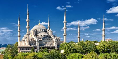
Marvel at Istanbul's iconic Blue Mosque, a masterpiece of Ottoman architecture adorned with 20,000 hand-painted İznik tiles—book your visit today to experience its celestial beauty and 400 years of Islamic heritage!

Discover Bodrum’s dual charm—ancient Halicarnassus meets turquoise shores. Plan your visit to where history and the Aegean Sea collide!
Step back in time at Harput, one of Turkey's oldest settlements, where medieval castles, ancient churches, and Ottoman mosques tell 3,000 years of history—book your cultural exploration today!
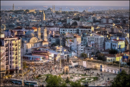
Beyoğlu, Istanbul's vibrant heart, pulses with an intoxicating blend of history and modernity, where street musicians serenade your journey through kaleidoscopic alleyways, and every step unveils a new facet of Turkey's captivating cultural mosaic!
Uncover the hidden ruins of Iotape, a secluded ancient harbor city on Turkey's Mediterranean coast—book your adventure today to explore Roman temples, Byzantine churches, and breathtaking seaside vistas!

Instagram-worthy Cumalıkızık! Capture pastel Ottoman houses, flower-lined alleys & timeless charm in this living museum village!
Unlock the secrets of Knidos, the ancient city where art and astronomy flourished—stand where the famed Aphrodite statue once gazed across twin harbors and explore the ruins of a civilization that shaped history. Book your archaeological adventure today!

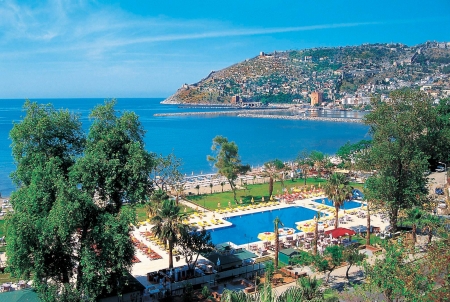
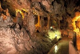
Damlataş Cave, a stunning natural wonder in Alanya, Turkey, is famous for its ancient stalactites, stalagmites, and therapeutic microclimate, making it a must-visit for nature and history lovers. Read More!
Discover the enchanting ruins of Phaselis, where ancient Lycian, Roman, and Byzantine history meets turquoise Mediterranean waters—book your visit today to explore its harbor streets, amphitheater, and shaded pine forests!
One of the most beautiful provinces of Southern Turkey, one that has survived from ancient times, the homeland of Santa Clause.
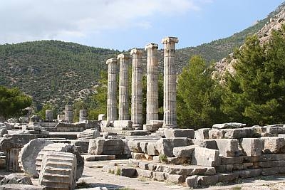
Decipher Priene's 2,300-year-old blueprints—from its democratic bouleuterion to Athena's panoramic sanctuary. Secure your expert-led tour now!
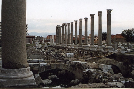
Step into 5,000 years of history at Smyrna (modern Izmir), where ancient agora ruins, Ottoman bazaars, and a vibrant waterfront tell tales of civilizations— experience Turkey's eternal gateway between East and West!
The ancient city of Stratonikeia, situated near the town of Yatağan in Aydin province, was a member state of the Khrysaor Union and was founded in the 3rd century BC. The monuments and ruins of the ancient city are still extant today and are open to visitation.
One of the most enigmatic places of the Mediterranean Region, Karain Cave has survived from prehistoric times.
Situated in Alaca town in the city of Corum, Alacahoyuk predominantly shows the Hittite influence during the Bronze Age, although ruins belonging to four different cultural phases can also be seen.

Situated in the Cilicia region in Adana province, the founding date of this ancient city is not known. It emerged during the Roman era but was somewhat overshadowed by Tarsus, the capital of the Cilicia region. In later times, Anazarbus continuously passed hands between the Arabs and Byzantines. Many historic remains along with a majestic Anavarza castle can be seen.

Situated in the Serik town in Antalya province, Aspendos impresses its visitors with its elegant amphitheater and other ancient remains. Because of its location close to the trade routes and the Koprucay River, Aspendos has always been a rich town many rulers desired to dominate.
Discover the ancient wonders of Zeugma, home to stunning Roman mosaics and rich history—plan your visit now to witness this archaeological treasure!
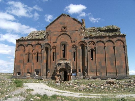
Explore the breathtaking ruins of Ani, a medieval Armenian city near Kars, and uncover its rich history—book your tour today to step back in time!
Explore the stunning ruins of Perge, an ancient Pamphylian city famed for its grand colonnaded streets, Hellenistic gates, and one of Turkey's best-preserved Roman theaters—book your historical journey today to walk in the footsteps of Alexander the Great and Saint Paul!

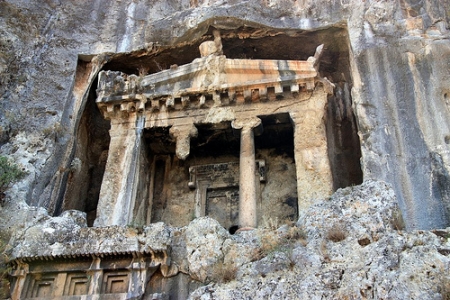
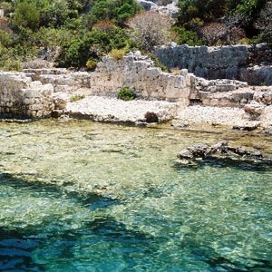
Step into the past at Telmissos in Bodrum, where Lycian tombs and ancient ruins await—book your adventure now to explore this hidden gem!

Princes' Islands: A car-free paradise where Ottoman charm meets Marmara's azure embrace. Read More!

Journey to the majestic ruins of Sagalassos, an ancient Pisidian city with stunning Roman architecture—secure your tour today and experience history come alive!
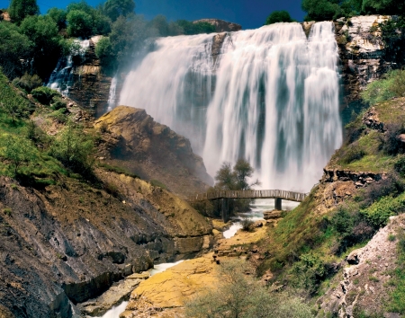
Located in one of the Eastern Anatolian cities with a rich cultural heritage, Tortum Waterfall is one of the most beautiful natural treasures.
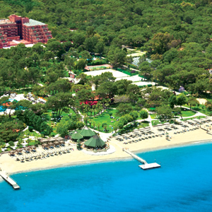
Splendid forest scenery with pine and pistachio trees as well as a magnificent coastline and impressive golf courses and facilities await you for an unforgettable holiday in Belek.

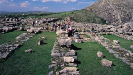
Walk in the footsteps of the Hittites at Hattusha Open-Air Museum, a UNESCO-listed wonder—book your tour today to unlock 4,000 years of history!
Kalkan, a charming Turkish coastal village, captivates with its blend of cobblestone streets, azure waters, and Lycian history, offering a perfect Mediterranean escape for those seeking relaxation and cultural richness!
One of the major cities of Lycia and located in the western part of Antalya, Kaş is a natural wonder which impresses visitors with a spectacular geography.
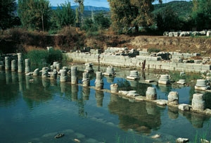
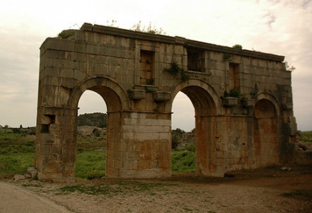
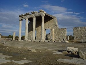
Discover the sacred ruins of Letoon, a UNESCO-listed ancient sanctuary dedicated to Leto, Apollo, and Artemis—walk among legendary history!

As charming as the meaning of the name indicates, Şirince is a lovely little village comprised of narrow streets with old adjacent houses.
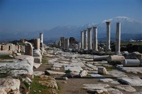
Explore Laodikea’s magnificent Greco-Roman ruins, including its grand theater and temples—reserve your spot now for an unforgettable journey to the past!
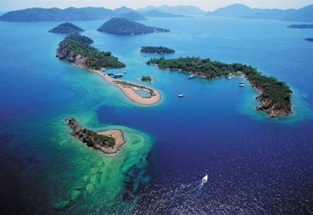
One of the most beautiful cities of the Aegean Region, Göcek, comprised of many islands and bays has been treasured and protected until nowadays.
Step into Miletus of Turkey, where ancient Greek wisdom meets Turkish charm, and lose yourself in a time-warp of grand theaters, intricate mosaics, and whispered tales of long-lost glory!

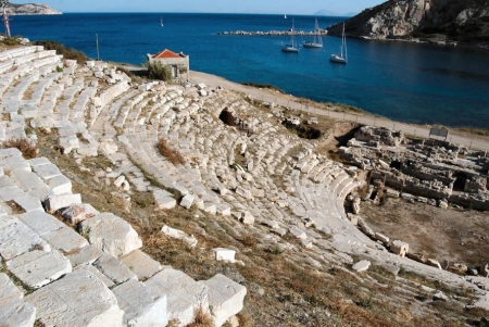
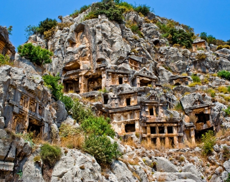
Myra was the first city of the Lycian Union and surpassed Xanthos in the early Byzantine ages to become the capital city of Lycia. Explore it!
Step into Perge Turkey, where ancient Roman grandeur meets Turkish sunshine, inviting you to wander through a maze of towering columns, intricate mosaics, and whispered tales of gladiators and gods!
Explore Phokaia's archaeological wonders, from its iconic rock-cut tombs to remnants of city walls, telling the story of this influential Ionian settlement!
Sardis, once the wealthy capital of King Croesus, offers awe-inspiring ruins like the Gymnasium and the gold-refining district, showcasing its importance in antiquity!
Patara, Apollo's legendary birthplace, invites you to uncover ancient Lycian treasures hidden beneath golden sands, where magnificent ruins whisper tales of bygone glory and sun-drenched beaches beckon with their crystal-clear waters!

Telmessos reveals its Lycian and Hellenistic heritage through striking archaeological remains, including its iconic cliffside necropolis overlooking the Mediterranean! Explore more!
Located in Fethiye, the ancient city of Xanthos once functioned as a capital of the Lycian League.
The city witnessed several wars and was destroyed to be built again eventually. Also the center of episcopacy during Byzantine era, Xanthos is enlisted in the UNESCO World Heritage.
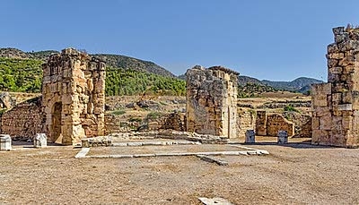
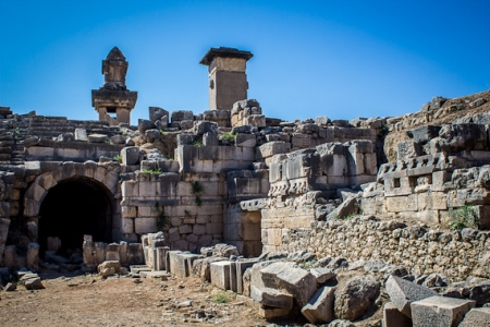
Hierapolis Turkey, a UNESCO treasure nestled beside Pamukkale's ethereal terraces, invites you to wander through Roman ruins, soak in sacred springs, and walk in the footsteps of saints, where ancient wonders and healing waters intertwine in a timeless dance. Read More!
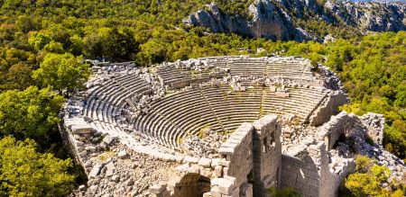
The scent of wild thyme follows visitors through Termessos' labyrinth of ruins, where every crumbling step reveals another vista of Antalya's mountains through gaps in walls that even Alexander couldn't breach!
From the legendary reign of Limyra's 4th-century BC ruler to its Byzantine-era bishopric, these ruins near Antalya preserve layers of Lycian, Persian, and Roman influence along the Mediterranean coast!

Nestled in the rugged embrace of Turkey's Taurus Mountains, Sagalassos invites intrepid explorers to step back in time, where perfectly preserved Roman ruins and ancient fountains whisper tales of a forgotten empire, offering a breathtaking journey through history far from the beaten path!
Perched atop a volcanic crag overlooking the Aegean, ancient Assos enchants visitors with its remarkably preserved Temple of Athena, Hellenistic walls, and panoramic views that inspired Aristotle during his residence here!
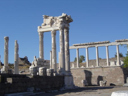
Pergamon's acropolis rises dramatically above Izmir, showcasing its legendary Library, steepest ancient theater, and Altar of Zeus – a monumental testament to Hellenistic power and culture!
Witness the awe-inspiring grandeur of Mount Nemrut in Adıyaman, where colossal stone heads and ancient tombs crown the summit, a testament to the megalomaniacal vision of King Antiochus I of Commagene!
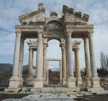
Discover Aphrodisias, a remarkably preserved ancient city in Aydın, where majestic temples, a grand stadium, and exquisite marble sculptures celebrate its legacy as a center of art and the cult of Aphrodite!

Cappadocia's protected landscape preserves extraordinary evidence of human adaptation—from early Christian cave monasteries to vast, ventilated underground cities!
Uncover Istanbul's ancient heart—where Hagia Sophia, Topkapi Palace, and the Blue Mosque bring centuries of history to life. Read More!